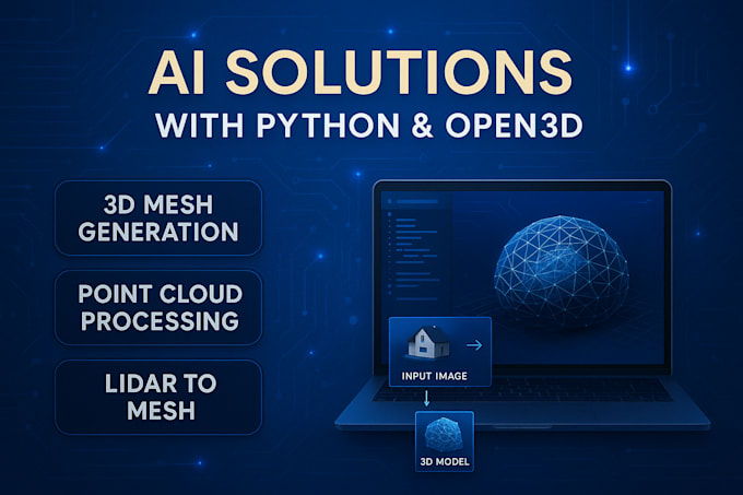
Do you require bespoke software development for transforming LiDAR point clouds or depth maps into superior 3D mesh models? I can construct a reliable Python application utilizing Open3D, PCL, and Meshlab APIs to automatically cleanse, filter, and reconstruct surfaces from unprocessed point cloud data.
Services Provided:
- Python scripts or complete software for converting point clouds to 3D meshes
- Noise reduction, Poisson surface reconstruction, and gap filling
- Mesh enhancement (reduction, smoothing, resizing)
- Automated output generation (STL, OBJ, PLY, GLB) for CAD or 3D printing purposes
- Assistance with registering and aligning multiple scans
I develop comprehensive coding solutions that process LiDAR data, photogrammetry results, or stereo depth information, suitable for AR/VR applications, geospatial analysis, or industrial reverse engineering.
Relevant Terms: point cloud to mesh software, Open3D coding, LiDAR data, Poisson reconstruction, 3D modeling pipeline, Python mesh scripts, PCL, Meshlab automation, STL export, AR/VR ready models, 3D geometry processing, surface fitting, mesh refinement coding
Get in Touch Today